A Quick Guide to Thru-Hiking the Continental Divide Trail
/
The Continental Divide Trail (CDT) spans over 3,100 miles from Mexico to Canada and is one of the most significant trail systems in the world. It’s the highest, most remote, and, in many ways, most challenging of our National Scenic Trails. Thru-hiking the CDT is an adventure of a lifetime, but it’s not for the faint of heart. That said, the effort it takes to overcome the challenges the Trail presents are rewarded with unending panoramic views, deep solitude, and an opportunity to be immersed in true wildness.
Long-distance hiking requires a lot of research, planning, and dedication. We put together this guide to help you get started. Below, you’ll find tips about choosing a start date, buying gear, what to expect on the trail, and so much more.
Have you completed a CDT thru-hike or are you planning to go for it? Let us know in the comments below!

THRU-HIKING THE CONTINENTAL DIVIDE
To thru-hike is to hike the entire length of a long-distance trail within a 12-month period. Each year, a few hundred people attempt to thru-hike the CDT, and not all finish. Unlike other long-distance trails, like the Appalachian Trail or the Pacific Crest Trail, there are lots of variations and route choices on the Continental Divide.
One option is to hike the Continental Divide National Scenic Trail (CDNST), which is a route designated by the US Forest Service. It sticks to the Divide as closely as possible, using a network of trails, dirt roads, and paved roads. The CDNST has gained popularity in recent years due to the availability of GPS tracks and maps, and is an appealing choice for purists or those who prefer a more straightforward route.
The other popular option is the CDT route, which is what we’ll be focusing on in this guide. It’s more of a choose-your-own-adventure-style approach. The CDNST and the CDT often share the same track, but this unofficial trail takes advantage of many alternate routes. The resources we recommend below tell you all you need to know about the popular alternate routes.
Both routes are scenic, remote, and challenging. Neither way is strikingly better than the other and both include some road walking. The route choice is usually made due to weather, resupply needs, fires, trail closures, floods, or wanting to see certain highlights.

Using a Jonathan Ley Map while on an alternate route along the Gila River in New Mexico
CDT BY THE NUMBERS
2,700-3,100 - Approximate length in miles depending on route chosen (average is 2,800)
5 - Number of states the CDT traverses
150 - Average number of days it takes to complete a CDT thru-hike
24 - Average daily mileage
457,000 - Approximate elevation gain and loss in feet of the CDT
14,278 - Highest point in feet (Gray’s Peak, CO)
4,200 - Lowest point in feet (Waterton Lake, Alberta)
$5000-8000+ - Average on-trail expenses
4-5 - Average pairs of shoes a CDT hiker will go through

Nearing the end of our northbound thru-hike in Glacier National Park
WHAT TO EXPECT ON A CDT THRU-HIKE
Thru-hiking the CDT is incredibly fun, exciting, and awe-inspiring, but it definitely has some specific challenges. It’s not recommended as a first thru-hike unless you have considerable backpacking experience. Ideally, you’ll have already hiked a long-distance trail with similar challenges, like the Pacific Crest Trail, and you should know how to read a map, use a compass, manage resupplies, and deal with water issues. That said, anyone who does their homework and is determined enough can be successful. No matter your experience level, you might enjoy our 21 Tips for the First Time Thru-Hiker post - it’s packed with good information to help prepare you for a long-distance hike. Here are some common things you’re likely to experience while hiking the CDT:

A dirt road leads through a vast basin of sagebrush in Wyoming
Solitude - Compared to the Appalachian Trail or Pacific Crest Trail, a relatively small number of people attempt to thru-hike the CDT each year. Its popularity is growing, but the reality is, you might not encounter any other backpackers on some stretches. It’s important to be self-sufficient and comfortable with limited social interaction. Lots of hikers combat loneliness with a project (keeping a journal or making videos), reading, and listening to music or podcasts. Solitude can be a beautiful thing. Just make sure to take care of your mental health, have a solid logistical plan, and stay on your toes out there.

A tire used as a watering hole for cattle in New Mexico
Big water carries and dry camping - Water availability on the CDT fluctuates drastically based on your start date, snow pack, and the weather. Generally, sources are far apart and unreliable in the desert. Water can also be inaccessible in the mountains when the trail stays on ridges for long periods. We had to “camel up,” and carry six liters of water to make it 20+ miles between sources on many occasions. Lightweight foldable bladders, like Platy Bottles, come in handy for big water carries. The best advice is to stock up wherever you can, never leave a source thirsty, and carry more than you think you need. There’s no guarantee you’ll find water in a source when you get there. The CDT Water Report is a crowd-sourced resource that can be very helpful. Here are some tips for finding water on the CDT in a dry year.

A muddy pond called a 'tank' - common water sources in parts of New mexico and Wyoming
Questionable water sources - CDT hikers should be equipped with a water treatment method that can handle heavily contaminated water. For a good portion of the trail, stock tanks are the main watering holes for both backpackers and livestock. Be mentally prepared to drink from mud puddles full of cow poop to stay hydrated. It’s also common to find dead mice, and lizards in CDT water sources (they were thirsty too). It’s part of the adventure! It’s always a good idea to carry a backup treatment, like Chlorine Dioxide pills, since filters can clog and electronics on UV purifiers can fail. It’s all too easy to pick up a nasty intestinal parasite, like Giardia, while thru-hiking the CDT if you’re not on your A-game. We recommend carrying flavored drink packets to make even the foulest water palatable.

Storms and big temperature swings - The CDT passes through a diverse gamut of climates from hot, dry deserts to cold, alpine tundra. Desert temps can fluctuate by as much as 60 degrees from daytime to nighttime. You might need to seek shade and rest during the heat of the day, then contend with freezing temps soon after the sun goes down. The weather also changes very quickly in the Rockies and CDT hikers should expect frequent storms. Spring and summer are monsoon season in the southern states, and torrential rain, hail, and lightning can happen anytime. Be ready for anything even if the forecast calls for good weather. To us, the rapidly-changing weather was exciting, but we were really glad to have our warm down jackets and solid rain gear (including umbrellas).

Post-holing can happen with or without snowshoes in soft snowpack
Snow travel - Snow travel requires excellent navigation skills and a bit of extra gear including an ice axe, snowshoes and/or Microspikes. It burns a ton of calories too, so make sure you plan for a raging metabolism (aka hiker hunger). Whichever direction you hike, you’ll encounter some steep slopes and avalanche terrain with unstable snowpack. Check out our video tutorial on Crossing Snow and Ice Axe Self-Arrest.

Navigating cross-country with a compass in a sparsely-blazed section in New Mexico
Navigation challenges & tools - Though there’s a lot more signage now than there used to be on many parts of the CDT, the frequency and appearance of blazes is very inconsistent. Because of this, you’ll have to pay pretty close attention to your maps or GPS to avoid getting off track. CDT thru-hikers should be confident in their way-finding skills; it’s common to use a combination of maps (or even two sets of maps) with a compass, GPS, and a smartphone with a navigation app for redundancy. This may seem like overkill, but these tools will all come in handy at various times. You’ll be happy you have them when you need them.

A high mountain pass in Colorado
High altitude - There are long stretches of the CDT that stay above 10,000 feet in Colorado, which means you’ll have epic panoramic views for weeks. Unfortunately, the sustained high altitude also means Acute Mountain Sickness - commonly known as altitude sickness or AMS - can be an issue. It’s common to feel more tired than usual, have a mild headache, or to feel like you need to breathe deeper to fill your lungs at these heights. See our How to Train for Hiking & Backpacking Trips Guide for more tips for high altitude hiking success.

Making a sign is helpful when trying to hitchhike
Hitchhiking - Hitchhiking is part of the adventure for most CDT thru-hikers since many of the towns used for resupply are a very long way from trailheads or highway crossings. We’ve accepted many rides from strangers over multiple thru-hikes and have seen a lot of good in people. We’re really grateful for our positive experiences with hitchhiking, but we definitely recommend being cautious. Never get in a car if it doesn’t feel right. Say you left something in the woods that you need to go back for, tell the car to go on without you, and walk away - you don’t want to take an unnecessary risk. Always stay aware of your surroundings and, if possible, have a partner with you if you must hitchhike.
Many of the topics above are covered in more detail in our 20 Tips for Backpacking in the Desert Guide.

One of the nicer flowing water sources in New Mexico
PLANNING
Good planning starts with the right resources. We’ll send you in the right direction to the most popular books, maps, websites, and tools below. We’ll also walk you through the basics of choosing a direction and start date, getting permits, and more.

posing for a photo at the CDT's Southern Terminus Monument
MAPS & RESOURCES
Most hikers use the following resources to plan their hikes:
CDTC website (CDT Planning Guide, southern terminus shuttle, water report, current conditions, stewardship, and education)
Yogi’s Continental Divide Trail Handbook (trail towns maps and amenities details, resupply addresses, and alternate route info.)
Walking with Wired’s tutorial on how to load POIs/waypoints onto a GPS
Most popular maps/navigation tools (we used all of these on our CDT thru-hike):
Jonathan Ley Maps (a great free map set with cliff notes produced by a legendary CDT hiker - get a taste of the CDT’s flavor by reading some highlights of these notes here)
Bear Creek Survey/CDTC Maps (these two map sets use the same info)
Guthook Guides CDT Phone App (tracks progress on map, shows elevation profiles, water sources, etc.)
Bear Creek Survey GPS Waypoints and Data (a GPS with waypoints is very helpful in the snow and is more reliable than a phone with an app)

NM is a good warm up for harder terrain up north
Choosing a direction - Choosing which direction you want to go really depends on your style, schedule, and what you want to get out of the hike. Most people hike northbound (NOBO) on the CDT, but southbounding (SOBO) is gaining popularity. Here are some things to consider when making your decision.
NOBO
Pros: Can be more social/less solitary, overall temps are generally warmer, NM is a good warm up for harder terrain up north, hiking CO in wildflower season, ending in Glacier NP feels more epic
Cons: Heat in Southern NM, summer thunderstorms in CO (June/July), need to reach Glacier NP before snow begins in fall, can be less solitary/more social
SOBO
Pros: There’s less rush to finish, aspens turning gold in CO, avoid thunderstorms in CO, more solitary/less social, hiking MT in wildflower season, cooler temps in NM
Cons: Decreasing daylight every day, trail is difficult right out of the gate (no warm up), cold nighttime temps in CO and NM, need to be through NM before snow begins in fall, can be less social/more solitary, the southern terminus isn’t as epic as the northern one (still exciting though)Flip-flop - A “flip flop” hike is a good option for hikers who wish to avoid as much snow travel as possible. There are multiple flip-flop options. The CDT Planning Guide does an excellent job of explaining the most popular flip-flop methods.

Sitting in the shade of a large boulder to be the mid-afternoon Heat in Southern New mexico
Picking a start date - In a normal snow year, NOBOs start mid-April through mid-May. The goal is to get through Southern New Mexico while temps aren’t unbearably hot, and to arrive at the Colorado border just as the snowpack becomes more manageable. NOBO hikers will generally want to reach the Canadian border by late September before snow starts to blanket the Northern Rockies.
SOBOs start later - mid-June to early July - since they’ll have to wait for the snowpack to melt in Glacier National Park and the high mountain passes of Montana. SOBOs generally want to be through the San Pedro Parks in New Mexico by November.

You’ll need a permit in all National Parks, including magnificent Yellowstone
Permits - There’s no long-distance permit to thru-hike the CDT, but you’ll need to obtain some permits for certain areas along the way. Planning ahead helps, but walk-in permits are usually easy to obtain. The CDT Planning Guide gives all the contact info and details, but we’ll outline the basics:
National Parks - You’ll need permits to camp in Glacier, Yellowstone, and Rocky Mountain National Park. Click the links for more info. Some parks require bear cans, restrict mileage, etc.
New Mexico State Lands Permit - This is required to hike in NM. It costs $35 and is good for a year. Apply for one on the CDTC website.
Blackfeet Reservation - You need a permit to recreate on the Blackfeet Reservation. Get your permit here.
Indian Peaks Wilderness - The CDT skirts the boundary of this wilderness area, only entering it for a few miles. You only need a permit if you plan to camp in this area, and you can get it here.
Wilderness Self-Service Permits - Some wilderness areas have kiosks where you can obtain a required self-issue permit for free.

One of many arrowheads we found along the CDT
Familiarize yourself with LNT - As long distance trail hiking becomes more popular, it’s more important now than ever to help minimize your impact on the environment. Make sure you know and practice the Leave No Trace Principles during your hike. For an in-depth look at what the principles mean for backpackers, check out our Leave No Trace video.

CDT thru-hikers go through an average of 4-5 pairs of trail running shoes
Budgeting - We can’t emphasize enough how important budgeting is and how potentially difficult it can be; many people have to end their hikes early due to running out of money. The average thru-hiker spends $2-$3 per mile (between $5,000 & $8000) during a hike on the CDT for things like motel rooms, food, drinks, and replacing gear. This doesn’t include the initial investment in gear which can set you back anywhere from $0-$5,000+ depending on what gear you have and need (more on this below). For some great tips to make your budget go further, check out our 21 Tips for Backpacking On a Budget post.

There’s a lot to do before you embark on a thru-hike, but it’s all worth it once you get out there
Putting your regular life on hold - Leaving “regular life” behind for five or six months is a big commitment and can be a real challenge. If this is your first thru-hike, you might find it helpful to check out our Quick Guide to Thru-Hiking the PCT or Quick Guide to Thru-Hiking the AT, which go into more detail about the following tasks you’ll need to do:
Quit your job/take a leave of absence
Autopay your bills
Make arrangements for pets

One of our favorite signs in Colorado
Physical prep - Not much can prepare you for hiking thousands of miles over rugged terrain besides just doing it, but training can definitely help. Many people find that their bodies quickly adapt to conditions on the trail once they get started hiking since the difficulty builds gradually (for NOBOs). If you’re SOBO, you’ll probably want to get a little prep in before your start date. Check out our How to Train for Hiking & Backpacking Trips Guide for some great tips to get your body primed for a CDT thru-hike.

A sign along the CDT reviewing the hazards
SAFETY
By the numbers, you’re generally much more safe on a thru-hiking trail than in a big city. Being prepared and knowing what to look out for is important no matter where you are, though, so here are a few tips to get you started.
Dangers CDT thru-hikers should learn to minimize the risk of:
Giardia
Dehydration
Exposure (heat exhaustion/stroke and hypothermia)
Overuse injuries
Rattlesnake bites
Grizzly bear attacks
Avalanches
Drowning; sketchy river crossings
Lightning strikes

Using some water from a muddy rut to cool off to avoid heat exhaustion in the desert
Make a rough itinerary - Do your best to plan out goals for miles per day, town stops for zeros (rest days where you don’t hike), and resupplies before you go. This not only allows you to set a goal for finishing and plan logistics, but you can share it with loved ones at home for their peace of mind. In our experience, friends and family really appreciated being included in the planning process.

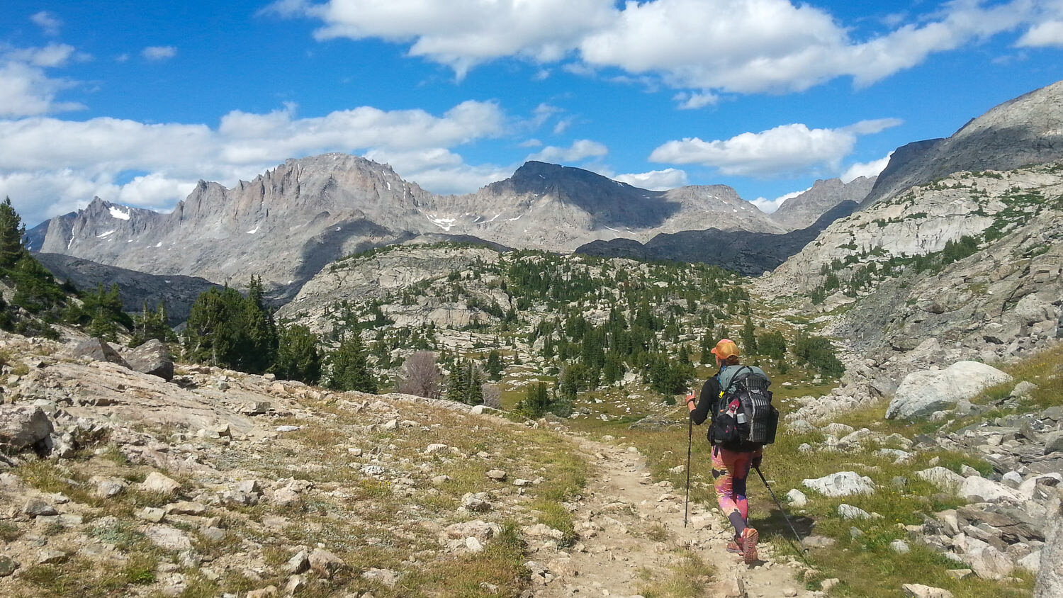
A remote section of trail in the Wind RIver Range, WYoming
Consider carrying a personal locator beacon (PLB) - PLBs are a great safety net in case the worst should happen. If you injure yourself or find yourself in a dangerous situation, help is just a button press away. Most PLBs allow friends and family back home to follow your hike on a map in real time which is just plain fun. Our favorite PLB is the Garmin InReach Mini - it uses top-notch satellite systems and has useful features like on-device mapping and two-way texting. If you’re looking for something more affordable, the less feature-rich Spot Gen3 also gets the job done.

Hiking behind a deer in Glacier National Park
Wildlife - There’s a lot of wildlife on the CDT, and most encounters are exciting and enjoyable. You’ll probably see deer, elk, bears, and wild turkeys frequently. If you’re lucky, you might also get a chance to see mountain goats, moose, and wolves. Here are some critters to keep a more cautious eye out for:

A lethargic rattlesnake on the trail in New Mexico
Rattlesnakes - Rattlesnakes are venomous and they’re abundant on certain parts of the CDT. It’s good to have a healthy fear of rattlers, but there’s no reason to be petrified. The chances of being bitten by a snake are very slim. Be aware of your surroundings, scan the trail in front of you, and you’ll be fine. If you do scare up a snake, stay calm and back away slowly. Snakes usually move out of the way once you give them some space. If a snake doesn’t move, bushwhack around it, giving it plenty of room. If you still have questions, check out our video on Snake & Cougar Safety for more info.

A curious chipmunk trying to get a snack
Rodents - Mice, chipmunks, and squirrels will keep you company along the entire length of the CDT. Make sure to store your food properly or you’ll surely wake up in the night to the scuffling sounds of these night robbers chewing holes in your gear and helping themselves to your precious supplies. Mice also carry disease and can be a real problem near human-made structures like cabins and picnic shelters.

We encountered grizzly bears four times in Glacier National Park, but only saw signs of them in other areas
Bears - Bears are ever-present on the CDT. You’ll only encounter black bears on the southern half of the Trail, which pose little threat to humans. Grizzly bear country roughly spans from Wyoming to Canada. These bears can be dangerous and extra precautions should be taken when hiking in their territory. The most important things you can do to protect yourself (and ultimately, the bears) is to carry bear spray and have the ability to hang your food. Check out our post on the Facts and Myths of Bear Encounters for more info. You might also like our post, Does Bear Spray Really Work?

A moose grazing in the distance
Moose - Moose can be seen foraging along the trail from Colorado north. If you notice signs of beaver habitat, you’re probably also in moose-country. Moose are massive, powerful animals. They’re not aggressive, but they’ll charge if they feel threatened. Do not approach moose. If a moose is blocking the trail (which they do frequently), go around it, giving it a wide berth. If a moose chases you, hide behind a tree or other large object. They have a hard time figuring out how to get around.
+in+a+hiker%27s+hands)

Horny toads are friendly enough, though grumpy looking
RESUPPLYING
Most hikers do a combination of shopping along the way and mailing boxes of food and supplies to themselves. We’ll go over the main pros and cons of each strategy below, but generally we recommend shopping in bigger towns and sending boxes to more remote locations. Because there are so many variables in route-planning, resupply isn’t as straightforward for the CDT as it is for other long trails. We won’t go into full detail here, but Yogi’s Continental Divide Trail Handbook is a popular resource for planning CDT resupply. There’s also a free online tool for printing CDT Mailing Labels for resupply boxes.

We prepared and mailed a lot of our food because we don’t enjoy shopping and repackaging food in trail towns much
MAIL DROPS
PROS: Possibility of having more variety/being healthier, easier for those with dietary restrictions, less work and stress in trail towns, an opportunity for a friend or family member to be involved, making your own food can be fun
CONS: A lot of initial work and planning, you have to keep track of/work with local post office schedules, extra expense of shipping, might be stuck with too much, too little, or food you’re tired of

A few days’ RESUPPLY purchased at a fairly well-stocked convenience store
GROCERY SHOPS
PROS: Ability to choose what you want when you want it, supports local communities along the trail, avoids shipping costs, no help needed (better option for international hikers)
CONS: Food options can be limited or poor quality (gas stations and dollar stores), more work/stress in trail towns, can be expensive in certain places, lots of packaging and excess food to get rid of
Some hikers don’t prepare anything ahead of time. Instead, they shop in the towns with the best stores and send boxes ahead to themselves wherever needed.

Shopping opportunities are limited or non-existent in some trail towns along the CDT
We recommend sending mail drops to these places since shopping opportunities are limited or non-existent:
Pie Town, NM
Ghost Ranch, NM
Doc Campbell's, NM
Leadore, ID (Bannock Pass)
South Pass City or Atlantic City, WY (right next to each other)
Lima, MT
Encampment, WY (Battle Pass)
East Glacier Village, MT
Twin Lakes, CO
Old Faithful Village, WY (Yellowstone)
Brooks Lake Lodge, WY
Benchmark Wilderness Ranch, MT

Taking a “dinner break” in grizzly country on the side of a dirt road
GEAR
Consider your gear and clothing choices carefully for a CDT thru-hike. The gear that worked for you on another backpacking trip or thru-hike might not be adequate for the CDT. It’s a cold trail, and you’ll definitely need a tent or shelter you’re confident using in heavy rain and strong winds. You’ll also want a quality sleeping bag or quilt (most people go with 15 or 20 degree), a warm down jacket, and solid rain gear. Check out our Ultimate Backpacking Checklist to start assessing what you have and what you might need to thru-hike the CDT.
Here are some of our favorite gear items to thru-hike with.
Backpack
Top pick: Hyperlite Mountain Gear Southwest 2400
Best budget-friendly option (men’s/women’s): Gregory Optic 48/Gregory Octal 45
More: Check out our Best Backpacking Backpacks list for more options.
Tent
Top pick: ZPacks Duplex (for one) and Triplex (for two)
Best budget-friendly option: REI Co-op Quarter Dome SL 2
More: Check out our Best Backpacking Tents and men’s lists for more options.

We loved the interior space of the Six Moon Designs Lunar Duo on our CDT thru-hike
Sleeping Bag
Top pick: REI Co-op Magma 15 or 30 (men’s 15/women’s 15)
Best budget-friendly option: Marmot Trestles Elite Eco 20 (men’s 20/women’s 20)
Top backpacking quilt pick: Enlightened Equipment Revelation Quilt 10°
More: Check out our Best Backpacking Sleeping Bags & Quilts list for more options.
Sleeping Pad
Top pick: Therm-a-Rest Xlite & Xtherm
Best budget-friendly option: Klymit Static V2
More: Check out our Best Backpacking Sleeping Pads list for more options.
Camp Kitchen
Top stove pick: MSR Pocket Rocket 2
Best budget-friendly stove: BRS Ultralight
Top cook pot pick: Toaks Titanium 750 ml.
Top utensil pick: Toaks Titanium Long Spoon
Top food storage pick: Ursack Major Bear Bag
Top Bear Canister pick: BearVault BV500 Food Container
More: Check out our Best Backpacking Stoves list for more options.
Water System
Top water filter pick: Sawyer Squeeze
Best water bottles: 1L Smartwater Bottle
Extra water capacity: Platypus Platy Water Bottle 70 oz.
Best purifier/filter backup: Katadyn Micropur Tablets
More: Check out our Best Backpacking Water Filters and Best Water Bottles lists for more options.

Filling a water bottle at the Gila River in New Mexico
Clothing
Best rain jacket: Outdoor Research Helium II (men’s & women’s)
Best budget rain pants: Outdoor Research Helium II (men’s & women’s)
Top down jacket pick: MontBell Plasma 1000 Alpine Down Parka (men’s & women’s)
Best budget down jacket: REI Co-op 650 Down Jacket 2.0 (men’s & women’s)
Top hiking pants pick (mens/womens): Outdoor Research Ferrosi Pants/The North Face Aphrodite 2.0 Pants
Top underwear pick (men’s/women’s): ExOfficio Give-N-Go/Ex Officio Give-N-Go Women’s Briefs
Top hiking shorts pick (men’s/women’s): Nike Challenger Dri-FIT 7”/Nike Dry Tempo Running Shorts
Top hiking shirt pick (men’s/women’s): Nike Legend Short Sleeve Tee/Nike Dri-FIT Knit Running Tank
Top hiking long sleeve pick: Nike Dry Element ½ Zip Running Top (men’s & women’s)
Top long underwear pick: Patagonia Capilene Midweight Base Layer Bottoms (men’s & women’s)
More: Check out our Best Rain Jackets, Best Rain Pants, Best Down Jackets, and Best Hiking Pants (men’s/women’s) lists for more options.
Learn the basics: Backpacking & Hiking Clothing 101: Tips for Creating the Perfect Ultralight Clothing System
Footwear
Top trail runner pick: Altra Lone Peak 4.5 (men’s & women’s)
Top hiking shoe pick: Salomon X Ultra 3 Low Aero (men’s & women’s)
Top hiking boot pick: Vasque Breeze LT Mid GTX (men’s & women’s)
Top hiking sock pick: Darn Tough Micro Crew Light Cushion (men’s & women’s)
Top warm sock pick: Darn Tough Hiker Boots Full Cushion (men’s & women’s)
More: Check out our Best Hiking Shoes and Boots and Best Hiking Socks lists for more options.
Safety
Bear Spray: Counter Assault
Ice Axe: C.A.M.P. USA Corsa
Traction devices: Kahtoola Microspikes
First Aid Kit: Ultralight .7 Kit
PBL: Tenacious Tape

The MSR Lightning Ascents are the snowshoes we wish we had for some sections of the CDT
Other Small Items
Headlamp: Black Diamond Spot 325
Stuff Sacks: HMG Waterproof Stuff Sacks
Stuff Sacks: S2S eVAC Dry Sacks
Backpacking Seat: Therm-a-Rest Z-Seat
Gear Repair: Tenacious Tape
Compass: Suunto M-3 D Leader
GSP: Garmin eTrex 22x
Trekking Poles: Gossamer Gear LT5
Sunglasses: Ray Ban Polarized New Wayfarer
Multi-tool: Swiss Army Tinker
Camp Towel: Packtowl Nano
Bug Repellant: Permethrin & Picardin Lotion
Cathole Trowel: REI Co-op Snow Stake
Tent Stakes: Aluminum Reflective Stakes
Camera: Sony RX100
Power Bank: Goal Zero Flip 24 Power Bank
Book: Kindle Paperwhite
More: Check out our Best Backpacking Pillows, Headlamps, Backpacking Hammocks, and Trekking Pole lists for more options.
Food
Thru-hikers must choose calorie- and protein-rich foods that are lightweight and affordable. For some ideas of great hiker foods, check out our Best Backpacking Foods Guide, our guide to making your own backpacking meals, and our Best Freeze Dried Backpacking Meals list.

Armed with bear spray, a GPS, and an umbrella on the CDT
CDT REGIONS QUICK FACTS
The CDT is divided into 4 sections. It travels through a multitude of diverse landscapes, weather, and challenges. Below, we’ll outline a handful of fun facts about each section.
Need a visual? Follow along with this CDNST Interactive Map.
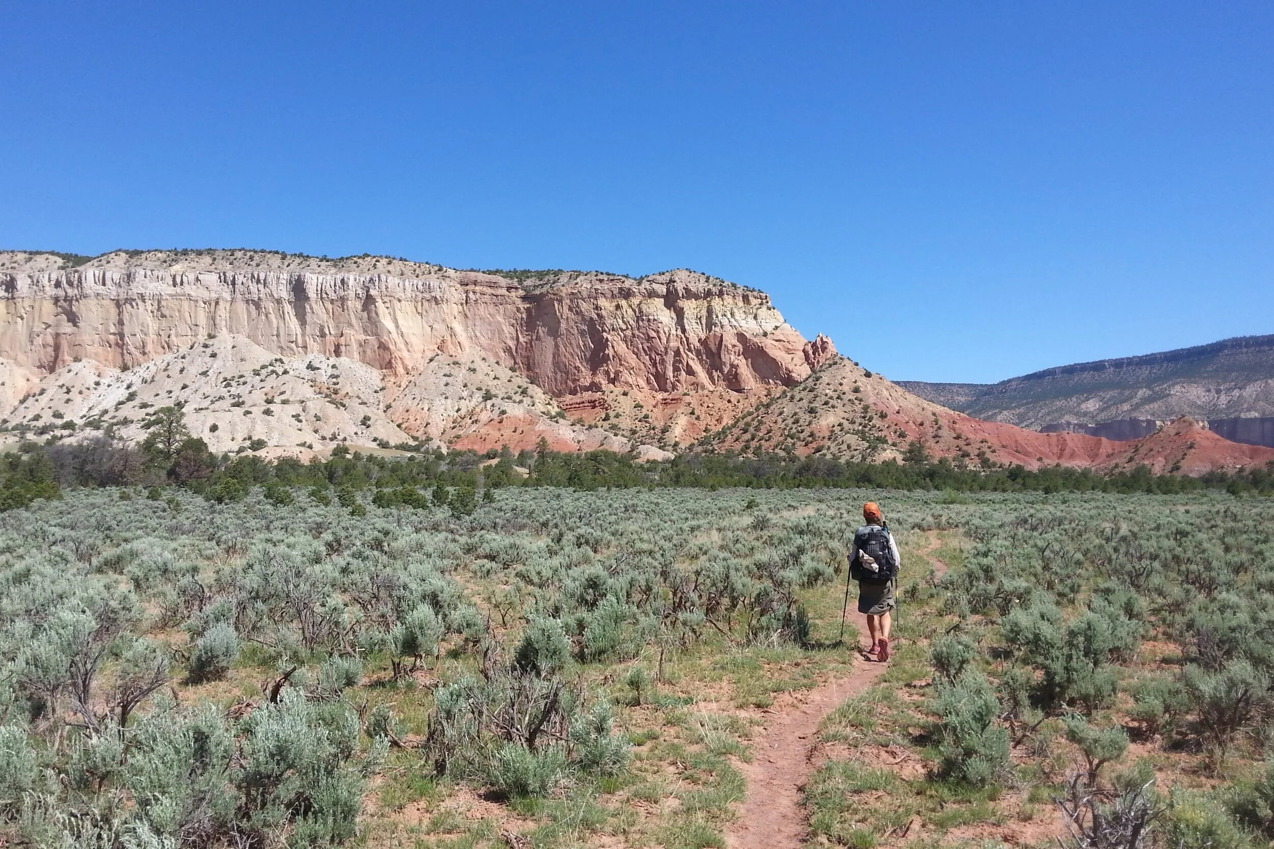
Hiking among the vivid colors and towering rock walls of Northern New Mexico
New Mexico - 820 miles
New Mexico, the “Land of Enchantment”, is full of rich Native American, Hispanic, and western culture
The Southern New Mexican desert is arid, but full of intriguing plants (sage,ocotillo, prickly pear, cholla, datura, and piñon pine) and animals (lizards, snakes, cows, coyote, and wild horses)
Daytime temps can reach over 100℉, while nighttime temps can be below freezing
Pie Town was settled during the Dust Bowl as a pit stop for travelers to grab a slice of pie. Decades later, the Pie-O-Neer pie shop keeps the tradition alive
The CDT crosses an expansive lava flow, El Malpais, and shares a path with the old Zuni-Acoma trade route
Mount Taylor is visible from up to 100 miles away

A thunderhead building over The Divide in Colorado
Colorado - 740 miles
A lot of the CDT in Colorado stays high and follows the peaks and ridges of the physical Continental Divide, where the trail offers constant incredible views of alpine meadows, moraine lakes, seas of mountains, and valleys below
Altitude sickness (AMS) can be problematic for some in this area
NOBOs will have to contend with afternoon thunderstorms and lightning
The Trail passes numerous derelict cabins, historic ghost towns, and mining operations
Grays Peak (14,270 ft.) is the highest point not only along the CDT, but also on any National Scenic Trail.
Before entering WY, the Trail loops though Rocky Mountain National Park and the awe-inspiring Zirkels in the Medicine Bow and Routt National Forests

Hiking through the Jaw-dropping Wind River Range
Wyoming - 500 miles
The CDT crosses the Great Divide Basin, a vast flat area where water doesn’t drain to any ocean
There are some very long dry stretches and road walks in WY
The craggy Wind River Range and Teton Wilderness are natural wonders and highlights of the CDT
The Green River at the south end of the Wind River Range roughly marks the boundary of grizzly bear country
The CDT coincides with the Oregon Trail wagon route and passes through South Pass City, a well-preserved pioneer town that serves as a museum
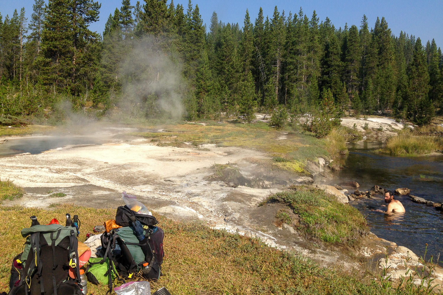
The Trail passes through Yellowstone National Park, a true geological wonder of the world and wildlife haven

Camping at Red Eagle Lake in Glacier National Park
Montana & Idaho - 1,030 miles
The CDT edges along the Idaho-Montana border through the BeaverheadDeerlodge National Forest and into the Bitterroot Range, where it intersects the Nez Perce Trail
The CDT covers about 110 miles of ground in Glacier National Park, where grizzly bears and mountain goats roam among the incredibly steep mountains and rock monoliths
After traversing some of the most remote country Glacier has to offer, the CDT heads down the Waterton Valley River to the northern terminus and Canadian border at Goat Haunt

Celebrating at the CDT’s Northern Terminus
GET INVOLVED
The CDT truly is an amazing footpath and it took monumental effort to turn it from a dream into a reality. Every year, the Continental Divide Trail Coalition, Continental Divide Trail Society, and US Forest Service work hard to maintain and protect the trail for recreation. Here are a few ways you can help and get involved:
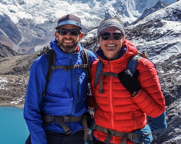
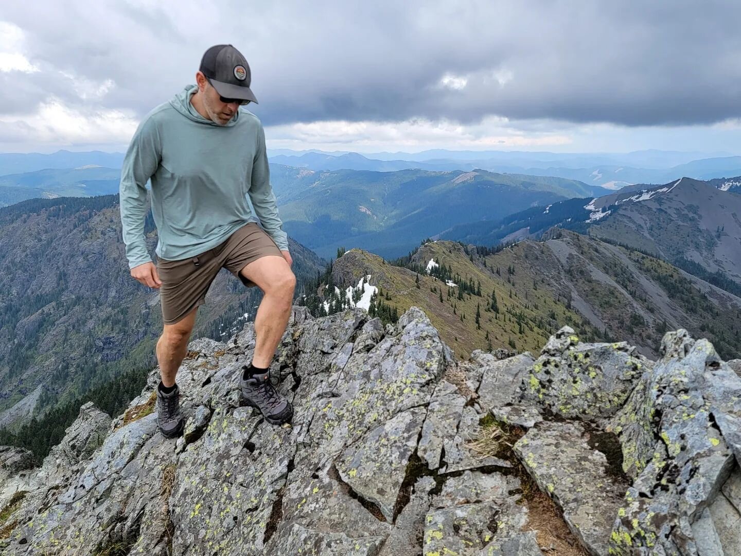
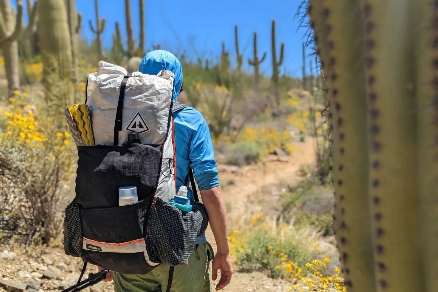
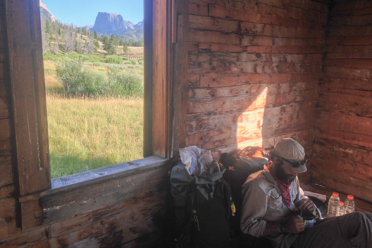
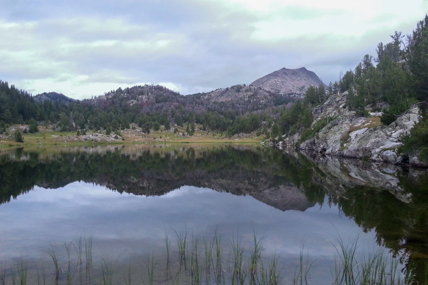
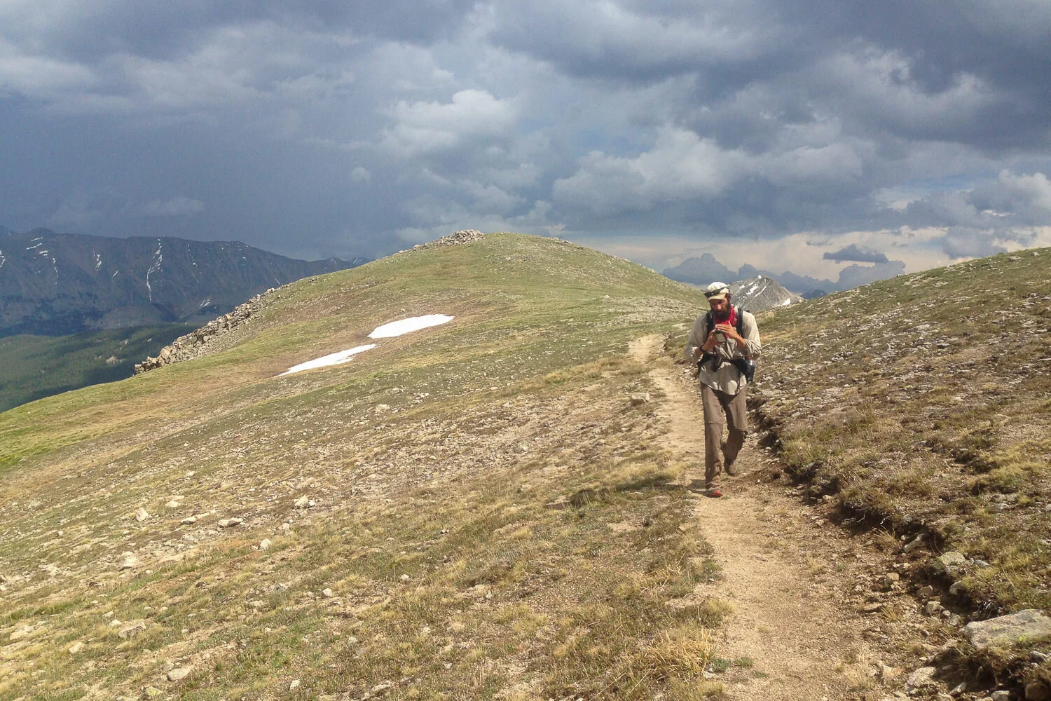
MORE CDT PHOTOS


.jpg)


.jpg)


Thru-hiking the CDT is a big challenge with big rewards, and we hope this guide helps you plan a successful hike. If we missed anything or you want to share your own CDT experience, leave us a comment below!
If you enjoyed this article and want to learn more, you'll probably like our other content as well. Here are some popular resources from the CleverHiker Gear Guide:

Some of the links on this page are affiliate links, which means we may receive a modest commission if purchases are made through those links. This adds no cost to our readers and helps us keep our site up and running. Our reputation is our most important asset, which is why we only provide completely honest and unbiased recommendations.